-
Title
-
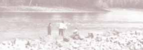
McDougall papers: Lower Shuswap Lake reserve
-
Nations and Organizations
-
Shuswap Indian Band (Kenpesq't)
-
topic
-
Reserves|British Columbia
-
Date Created
-
ca.1909-ca.1910
-
Creator
-
McDougall, John
-
Spatial Coverage
-
British Columbia
-
Type
-
Manuscript
-
Source
-
Glenbow Museum (Series 2-f, M-729-78)
-
Language
-
en
-
Note
-
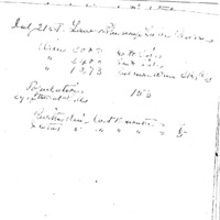
John McDougall worked as a commissioner for the Department of Indian Affairs, and took part in negotiations for the sale of reserve land in the interior of British Columbia. - Consists of a volume in which he recorded statistics about the population, land and general conditions of these reserves: Lower Shuswap Lake, Musqueam, Langley, Semiahmoo, Coquitlam, Katzie, Squamish, Pitt Lake, Whonnock, Matsqui, Sumas, Skwem, Lakamaan, Timber, Holachten, Soowahlie, Tzeachten, Scowlitz, Chehalis, Seabird, Cheam, Squatits, Popkum, Yale, Union Bar, Hope, Chawathem, Shawalooks, Ohamil, Deodurans Creek, Ashcroft, Bonaparte, Oregon Jack, Cooks Ferry, Spence’s Bridge, Nicola, Spuzzum, Boston Bar, North Bend, Boothroyd, Kanaka Bar, Siska, Skuppel, Lytton, Nicomin, Thompson and Kootenai agencies, Lower Columbia Band (Windermere), Shuswap Band (Windermere), Tobacco Plains, Lower Kootanie Band (Creston), and Arrow Lake Band.