Skip to main content
Advanced Search
Narratives
Background to the McKenna McBride Royal Commission
Impacts of the McKenna McBride Commission
Our Culture Lives in the Land
Testimonies
Maps/Photos
Final Report
Agency Reports
Additional Resources
My Account
My bookmarks
Register
Log in
About
For Teachers
For Researchers
About the Records
About the Project
Disclaimers and Copyright
FAQs
How to Use
Advanced Search
Our Homes Are Bleeding
Digital Collection
Return to Library & Archives
Items
View as:
Grid
List
Created
Resource class
Title
Contributed on (numeric:timestamp)
Created on (numeric:timestamp)
Date (numeric:integer)
Date (numeric:interval)
Date (numeric:timestamp)
Date Created (numeric:timestamp)
Date Modified (numeric:timestamp)
Ascending
Descending
Sort
Advanced search
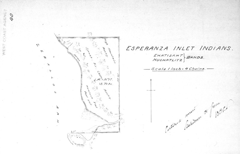
Esperanza Inlet Indians. Ehatisaht [and/et] Nuchatlitz bands. [Map showing Hecate Reserve No. 17./Carte montrant la réserve Hecate no 17.]
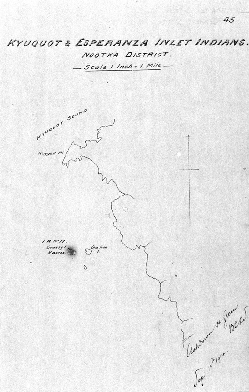
Kyoquot & Esperanza Inlet Indians. Nootka District. [Map showing Grassy Island Reserve No. 17./Carte montrant la réserve Grassy Island no 17.]
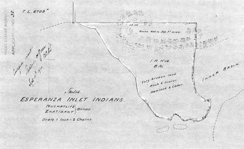
Sketch. Esperanza Inlet Indians. Nuchatlitz [and/et] Ehatisaht bands. [Map showing Sophe Reserve No. 14./Carte montrant la réserve Sophe no 14.]
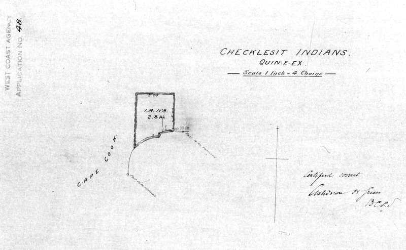
Checklesit Indians. Quin-e-ex. [Map showing Quineex Reserve No. 8./Carte montrant la réserve Quineex no 8.]
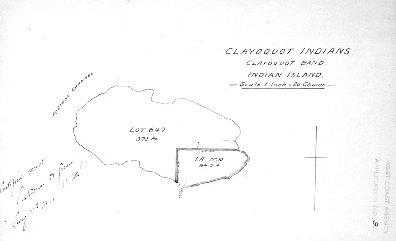
Clayoquot Indians. Clayoquot band. Indian Island [Reserve No. 30/ Réserve no. 30]
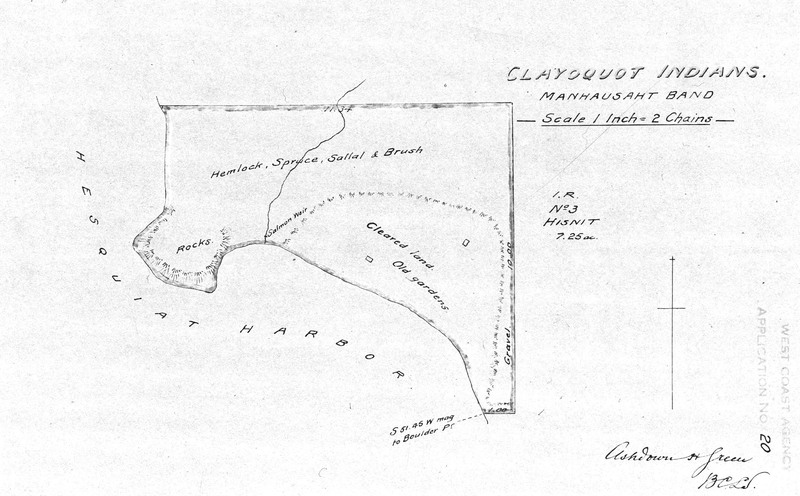
Clayoquot Indians. Manhausaht band. [Map showing Hisnit Fishery Reserve No. 34./Carte montrant la réserve Hisnit Fishery no 34.]
Rupert District. Checkleset Indians. [Map showing Checkaklis Island Reserve No. 9./Carte montrant la réserve Checkaklis Island no 9.]
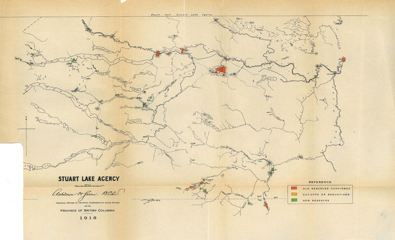
Stuart Lake Final Report Images/Stuart Lake Image du rapport final - Full Agency Map
Stuart Lake Final Report Images/Stuart Lake Image du rapport final
Stuart Lake Exhibits Map 1/Stuart Lake carte de l'exposé 1
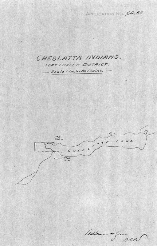
Cheslatta Indians. Fort Fraser District. [Map showing Chislatlate Reserve No. 9 and Cheslatta Lake Reserve No. 10./Carte montrant la réserve Chislatlate no 9 et la réserve Cheslatta Lake no 10.]
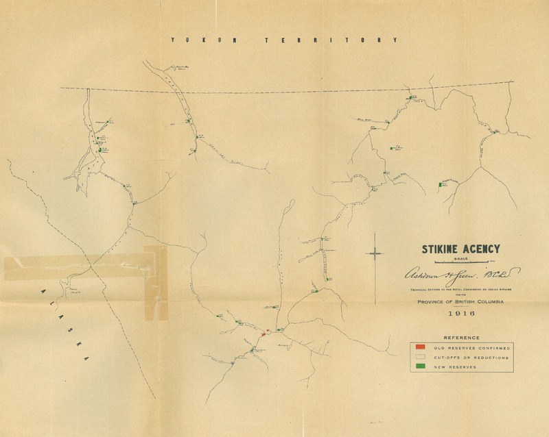
Stikine Final Report Images/Stikine Images du rapport final
Tahltan Indians. Cassiar District. [Map showing Telegraph Creek Reserve No. 6./Carte montrant la réserve Telegraph Creek no 6.]
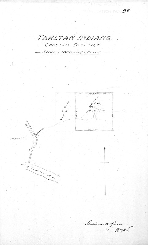
Tahltan Indians. Cassiar District. [Map showing Tahltan Reserve No. 10./Carte montrant la réserve Tahltan no 10.]
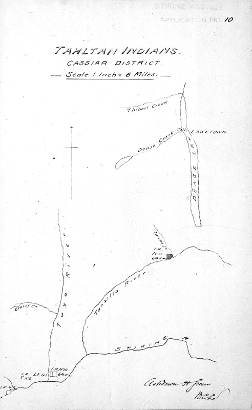
Tahltan Indians. Cassiar District. [Map showing Reserves No. 1, 2, 10 and 11./Carte montrant les réserves nos 1, 2, 10 et 11.]
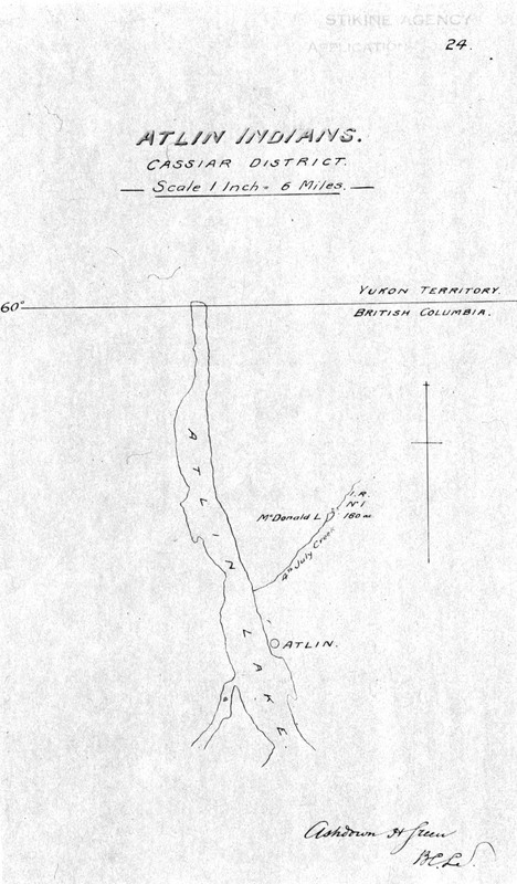
Atlin Indians. Cassiar District. [Map showing McDonald Lake Reserve No. 1./Carte montrant la réserve McDonald Lake no 1.]
Queen Charlotte Islands Final Report Images - Full Agency Map
Queen Charlotte Agency Exhibits Map 5
Queen Charlotte Agency Exhibits Map 4
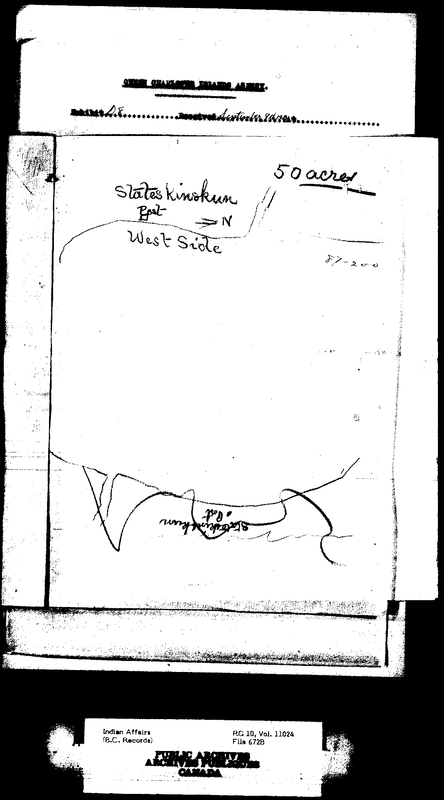
Queen Charlotte Agency Exhibits Map 3
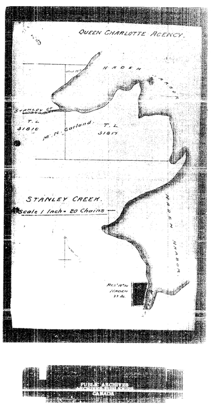
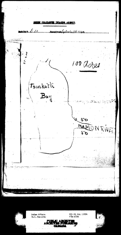
Queen Charlotte Agency Exhibits Map 2
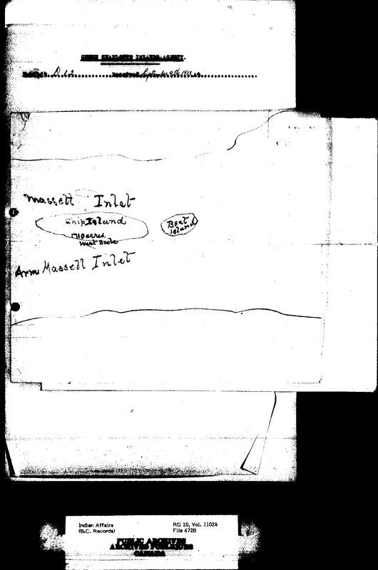
Queen Charlotte Agency Exhibits Map 1
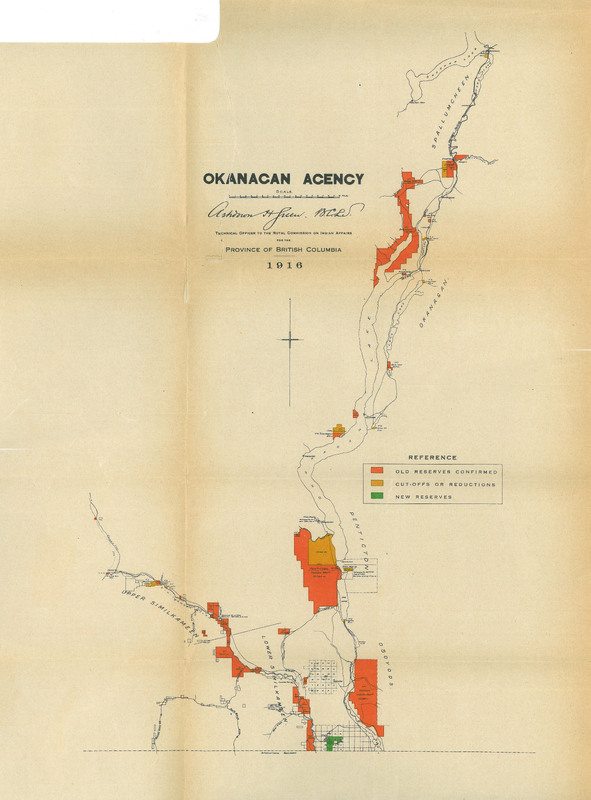
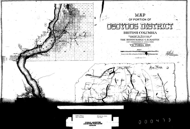
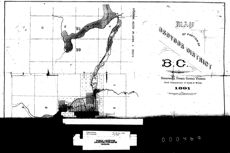
Okanagan Final Report Images/Okanagan Image du rapport final - Full Agency Map/Image compléte du carte
Okanagan Exhibits Map 2/Okanagan carte de 'exposé 2
Okanagan Exhibits Map 1/Okanagan carte de l'exposé 1
Showing 26 to 50 of 514 results
Page
of 21