-
Title
-
Royal Commission Maps
-
Description
-
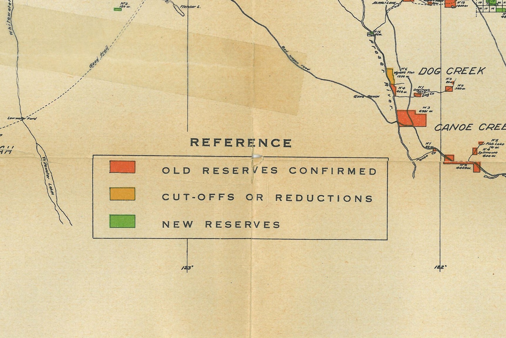
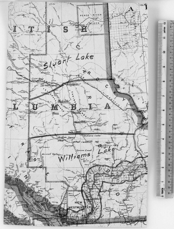
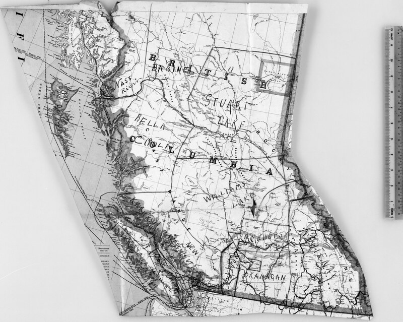
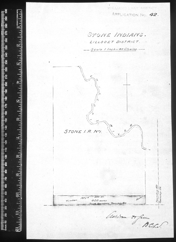
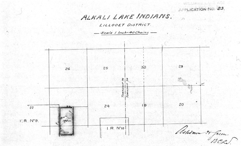
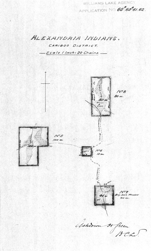
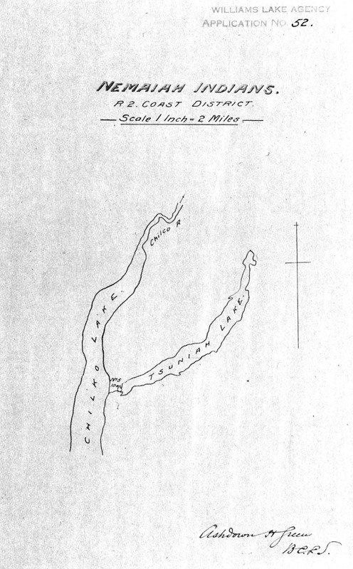
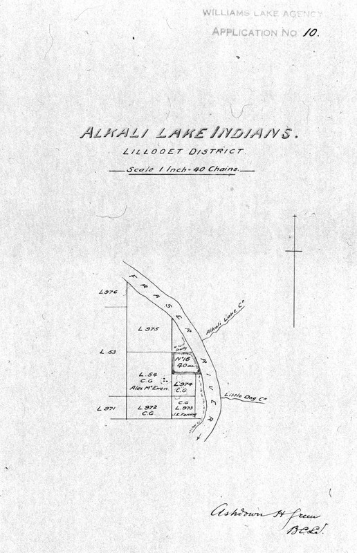
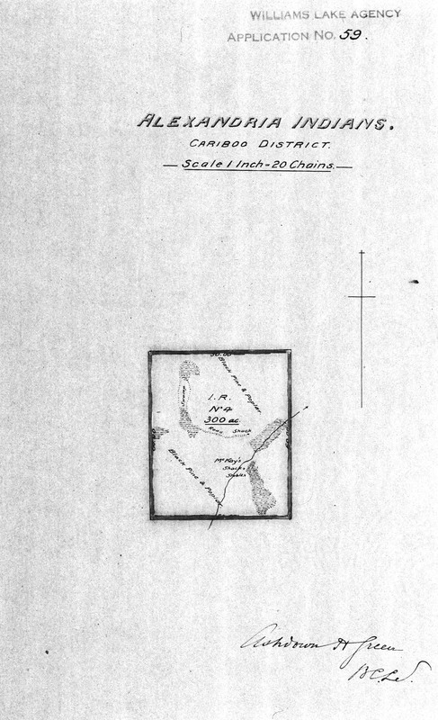
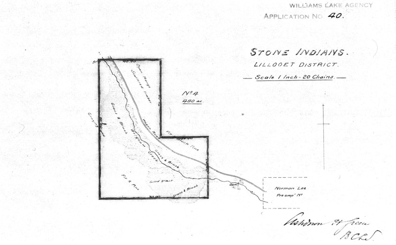
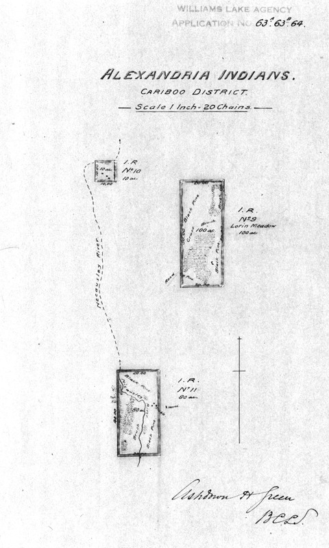
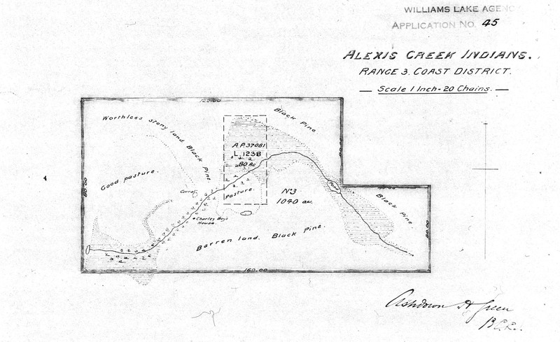
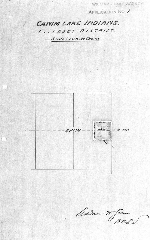
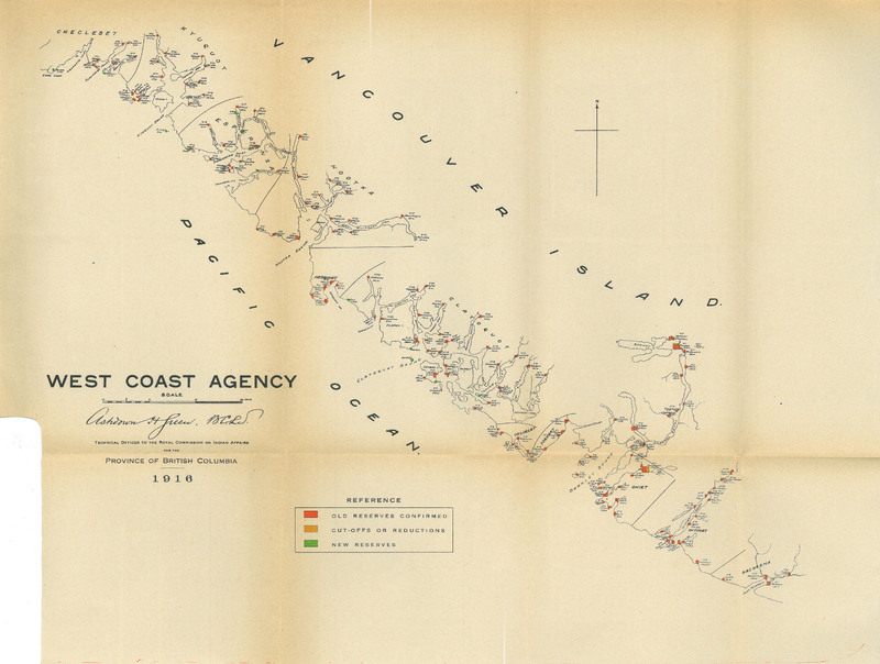
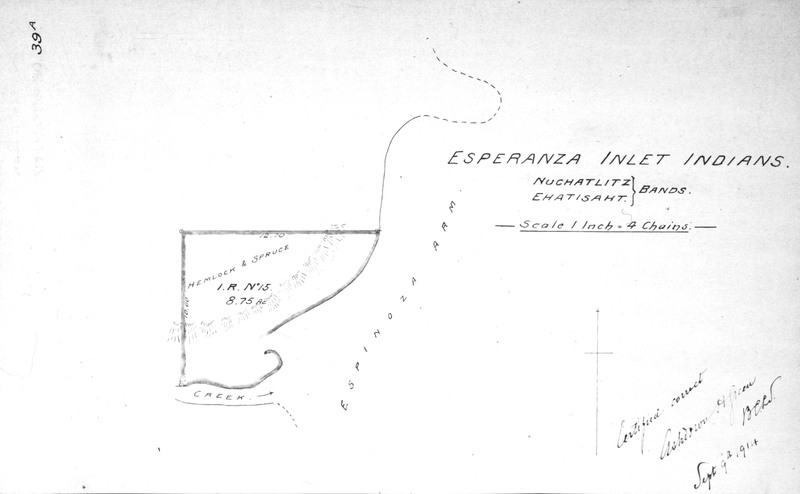
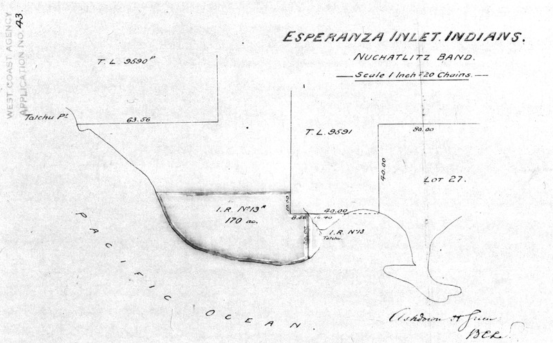
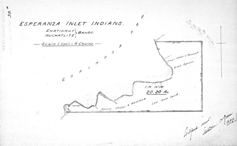
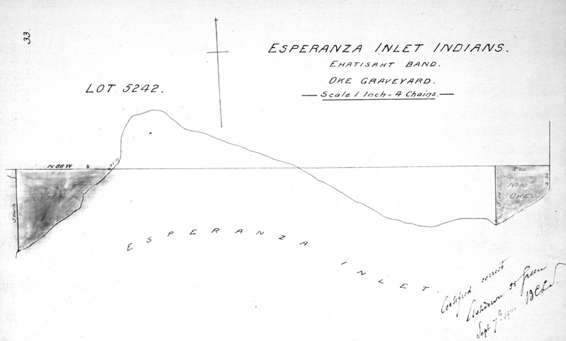
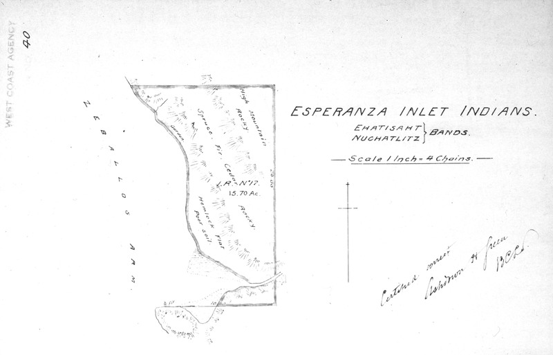
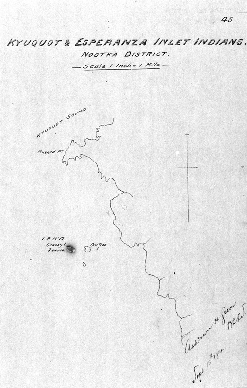
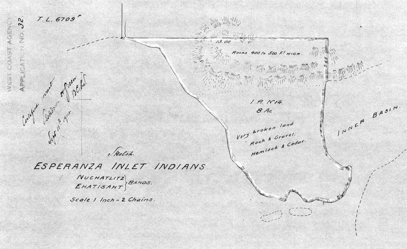
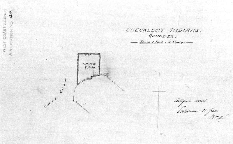
When the Royal Commission began its work, many areas of the province had not been surveyed, or had been surveyed improperly. Ashdowne Green was hired as the head surveyor and the maps that he created for the McKenna McBride Commission are important records of BC topographical and social history. Green's maps show the borders of the reserves, proposed sites for cut-off lands, Agency boundaries, topography, pre-emption lots, transportation corridors, and other features.
Also included in this gallery are the maps published in the Royal Commission's Final Report and maps that were submitted by Indian Agents and other government officials as evidence during the hearings. More information about these maps can be found in RG -10 reels.
-
Creator
-
Ashdowne Green