Lesson materials to provide teachers and students the information needed to critically examine historical political and social developments by investigating the on-line sources.
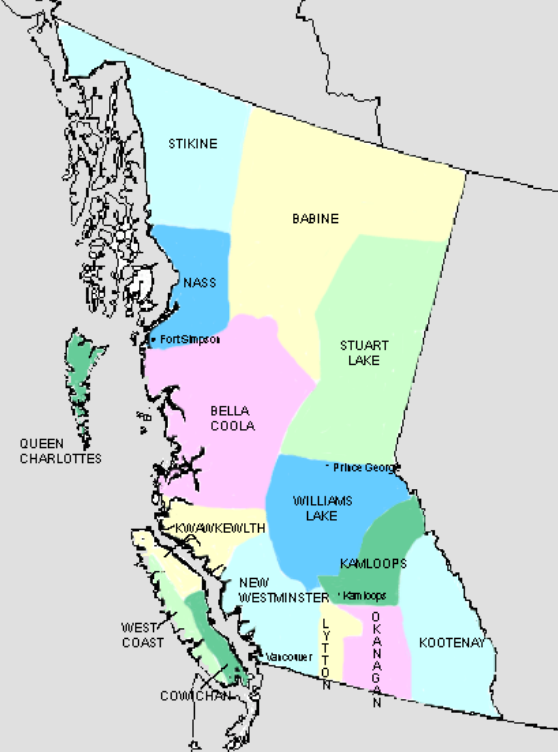
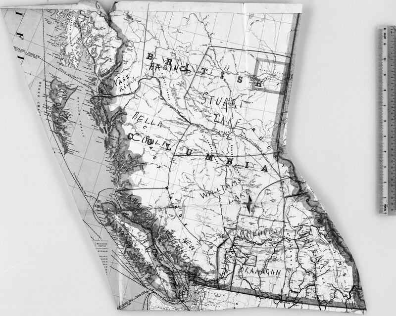
BC has a very diverse landscape. The Royal Commission was unprepared for the scope of the work ahead of them, in part because of the size of the province and the physical challenges of traveling the province in 1916. They visited many First Nations communities, travelling by ship, horseback and automobile. The photographs in this gallery reflect some of these landscapes and portray some aspects of the complex history of the cut-off lands.
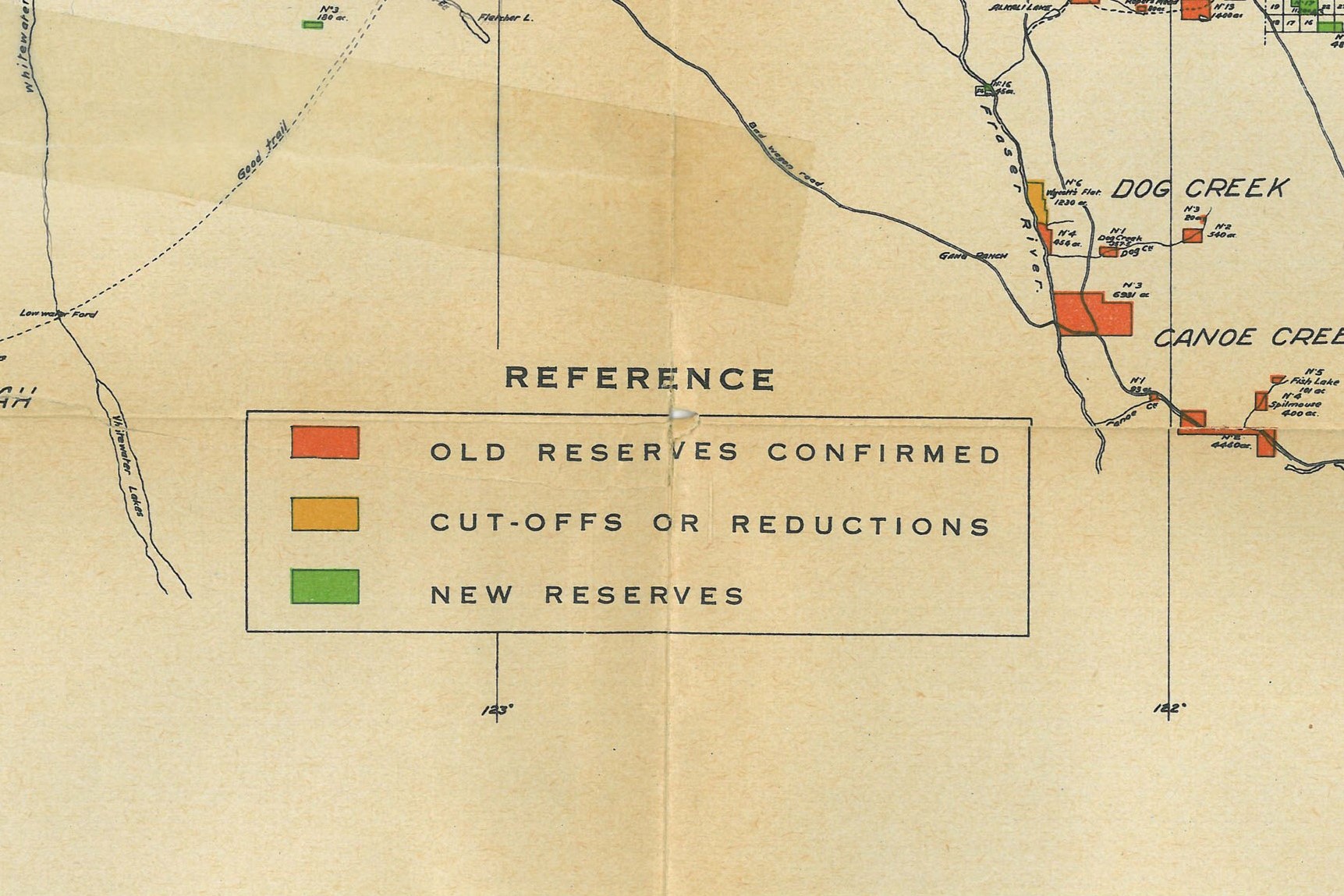
When the Royal Commission began its work, many areas of the province had not been surveyed, or had been surveyed improperly. Ashdowne Green was hired as the head surveyor and the maps that he created for the McKenna McBride Commission are important records of BC topographical and social history. Green's maps show the borders of the reserves, proposed sites for cut-off lands, Agency boundaries, topography, pre-emption lots, transportation corridors, and other features.
Also included in this gallery are the maps published in the Royal Commission's Final Report and maps that were submitted by Indian Agents and other government officials as evidence during the hearings. More information about these maps can be found in RG -10 reels.
The Union of BC Indian Chiefs holds periodic meetings for its Chiefs Council to confer, receive updates, and pass resolutions. Resolutions are the essential mechanism by which UBCIC Chiefs Council provides specific mandates and direction to the Union of BC Indian Chiefs’ Executive and staff.